Big Pixel
- About
- People
- Projects
- News
- Contact Us
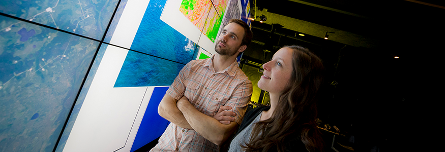
The Big Pixel Initiative is developing geospatial capacity to address our world’s greatest challenges at scale. Founded in partnership at UC San Diego’s Qualcomm Institute (Qi) and School of Global Policy and Strategy (GPS), we have partnered with the DigitalGlobe Foundation to grow a living, learning laboratory related to everything spatial, to investigate and design best practices in geospatial data visualization, user experience interfaces, and design techniques for scientific discovery and decision-making.
The Big Pixel Team has partnered with the DigitalGlobe Foundation to explore academic uses for their Global Base Map (GBM), a current high-resolution base map for the planet. This resource enables a unique opportunity to address large scale persistent challenges in the world by combining our assets in geospatial analysis, crowdsourced field data science, data design and visualization, cognitive science and computer graphics.
This initiative is designing research methods for scalable satellite image ingestion, processing, computing and visualization for the next generation of global change research in geospatial big data. We are developing tools in computer vision, machine learning, GIS, remote sensing and crowd-sourcing.
More and more we have the need for dynamic interactive analysis; less pre-digested static results and more interactive visualizations. The design for this lab is growing a living, learning collaborative lab for researchers to perform inherently multidisciplinary research, which will be driven by the evident need by our partners to create this space, cultivating design and function together. Our pilot projects are in the fields of public health, economics and ecology.